SRTM 1 Arcsecond Digital Elevation: S26_E025_1_arc_v3( Digital Object)
Attached files
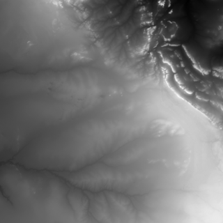
Type
GeoTIFF
Caption
S026_E025_1arc_V3
File
s26_e025_1arc_v3.tif
Description
The Shuttle Radar Topography Mission (SRTM) was flown aboard the space shuttle Endeavour February 11-22, 2000. The National Aeronautics and Space Administration (NASA) and the National Geospatial-Intelligence Agency (NGA) participated in an international project to acquire radar data which were used to create the first near-global set of land elevations.
Type
Digital Object
Identifiers
Provenance
None
Spatial relationships
- Falls within None ()
- Contains Woodlands 8JO (Place)
- Contains Shapefiles of Seoke stone walling (Visual Item)
Makes connections with
Receives connections from
- was derivation source for Digital Object 3D Rendering of landscape around Seoke showing stone wall locations
Archival Status